LAT 39° 38’ N, LON 106° 57’ W.
Narrative Cartography
& Custom Map Design
Fall Lines & Maps creates custom maps that bring landscapes, history, and local stories to life.
Maps that tell the story of a place.
Founders’ Series
Western Water
Coming Soon
“Of all the creations of the human mind, none is more fascinating or more useful than the map. A map is a poem of geography”
John Noble Wilford
Science Journalist and Historian
GoPro Mountain Games
〰️
Vail Valley Foundation
〰️
Rocky Mountain Adventure Rentals
〰️
Timberline Tours
〰️
What To Do Travel Guides
〰️
GoPro Mountain Games 〰️ Vail Valley Foundation 〰️ Rocky Mountain Adventure Rentals 〰️ Timberline Tours 〰️ What To Do Travel Guides 〰️
The Studio
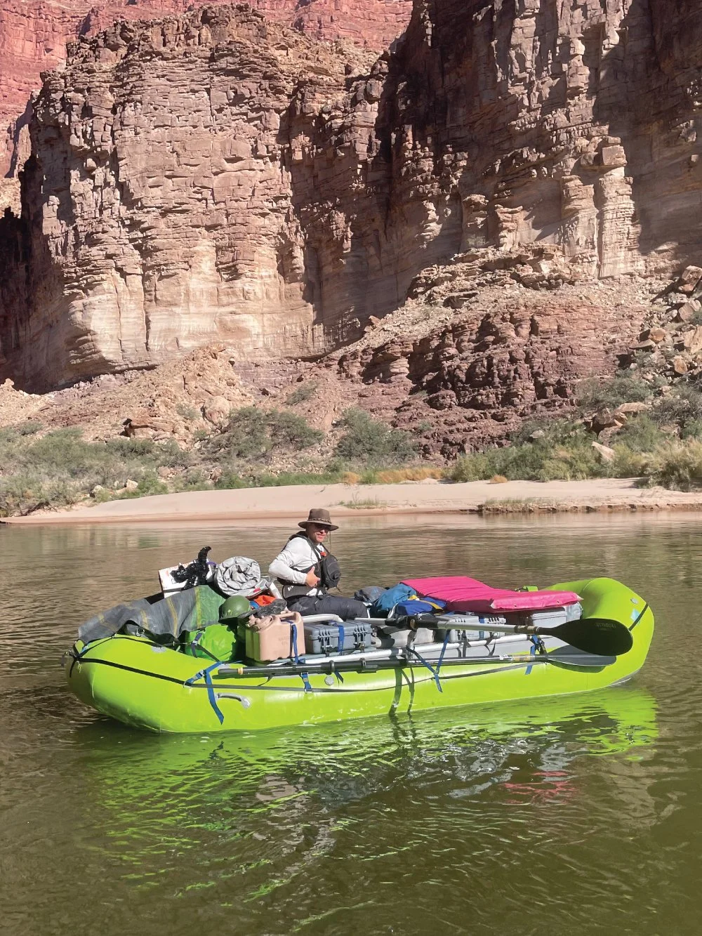
Studio Director & Map Guy
Brian Forkner
Operating on a simple belief: Places are more than coordinates. They contain stories. From the rivers that changed your life to the trails and landscapes that are worth protecting. We turn stories and memories into visual experiences through the art of narrative cartography. From bespoke expedition maps to conservation storytelling and collectible cartographic art, each piece is designed to help people connect more deeply with the places they call home.
Celebrating Nature,
History, & Adventure
Commissions Available for:
EXPEDITION MAPS
Guides & Outfitters
Enhance your customer experience with branded expedition maps and keepsake maps that tell the story of your routes and landscapes.
IMPACT MAPS
Nonprofits & Campaigns
Translating complicated places and ideas into compelling visual narratives; helping audiences see where the work happens, why it matters, and what is at stake.
STEWARDSHIP MAPS
Conservation & Eco-Preserves
Helping communicate the importance of landscapes by mapping what isn’t always visible: habitat, migration, history, and the connections between them.
TOURISM MAPS
Hospitality & Municipalities
Elevating your guests and visitor experiences with curated maps designed around the places you want your guests to explore and remember.

A note about our work:
Our work sits at the intersection of visual storytelling and collectible art through the use of cartographic design. Our maps are not built for tactical navigation, wayfinding, backcountry travel, or land development. They are interpretive fine art, drawn to archive a human story, show an ecological relationship, and hold onto the spirit of a place a little longer than memory alone can manage.
The Sketchbook
Fall Lines
Quick reads about our work and processes.